About
CoastGuard is an innovation-driven project funded under the Copernicus Marine National Collaboration Programme, with the aim of improving coastal monitoring in Spain through the integration of satellite remote sensing, automated processing techniques, and Copernicus Marine products.
The project focuses on delivering near real-time and reliable coastal information by combining Earth observation data with state-of-the-art algorithms. Its results are intended to support the implementation of European policies and environmental directives, as well as the development of national strategies for coastal resilience and adaptation to climate change.
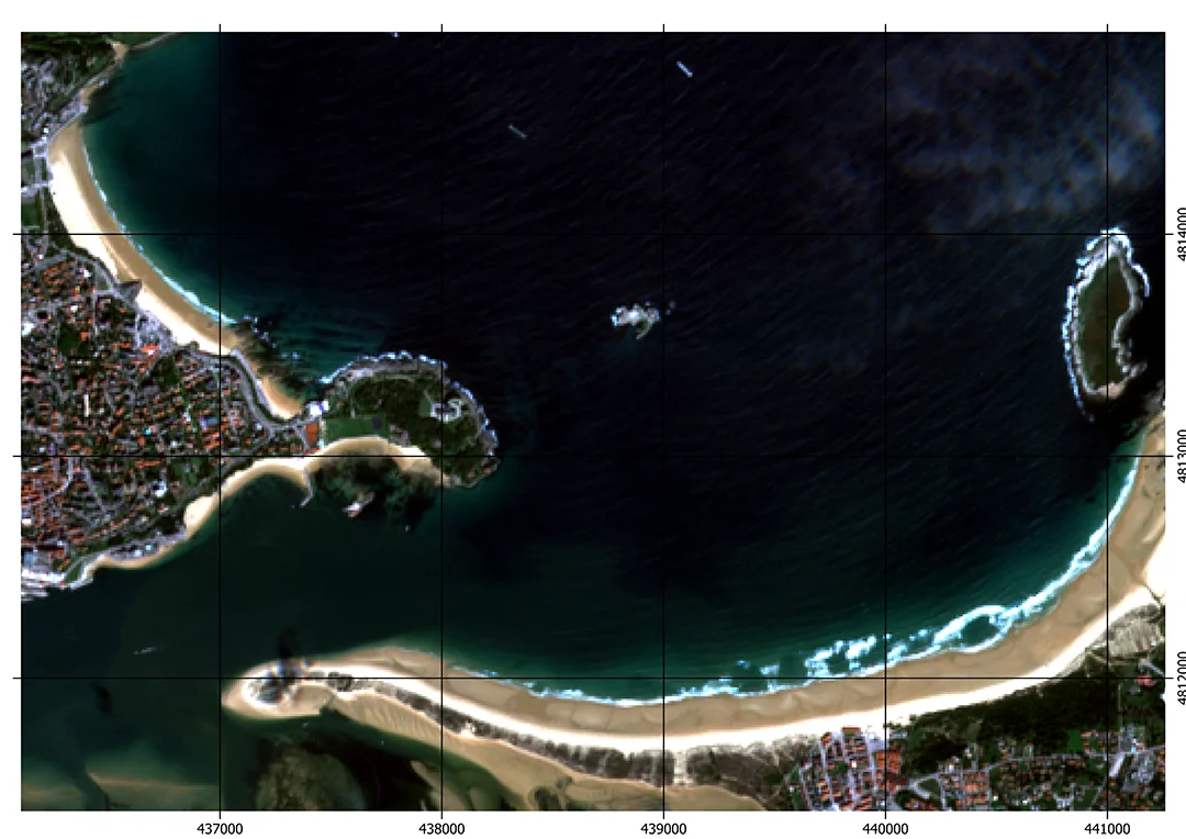
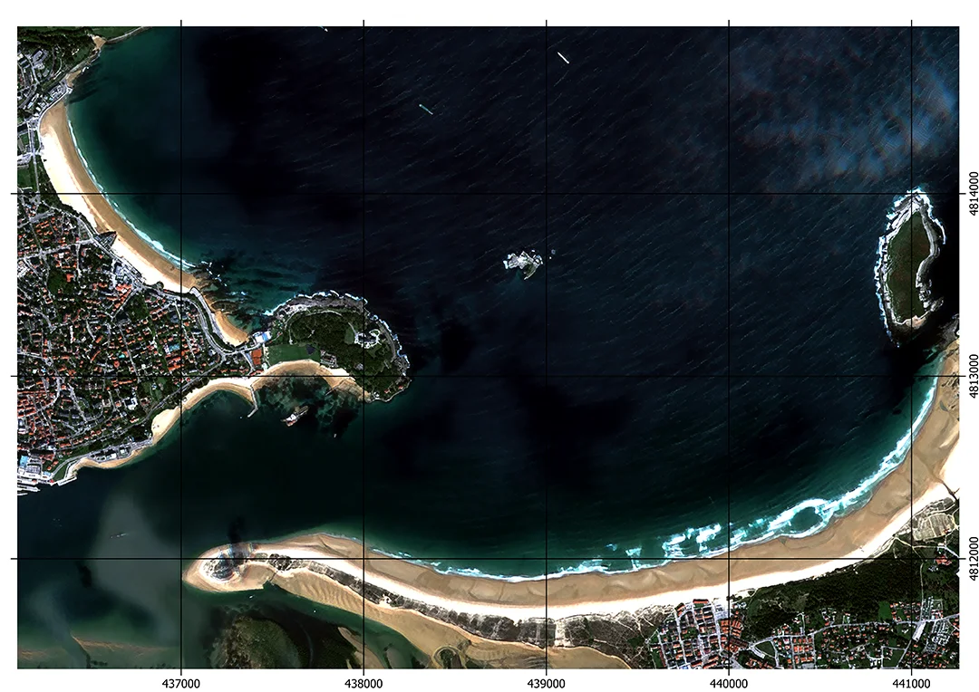
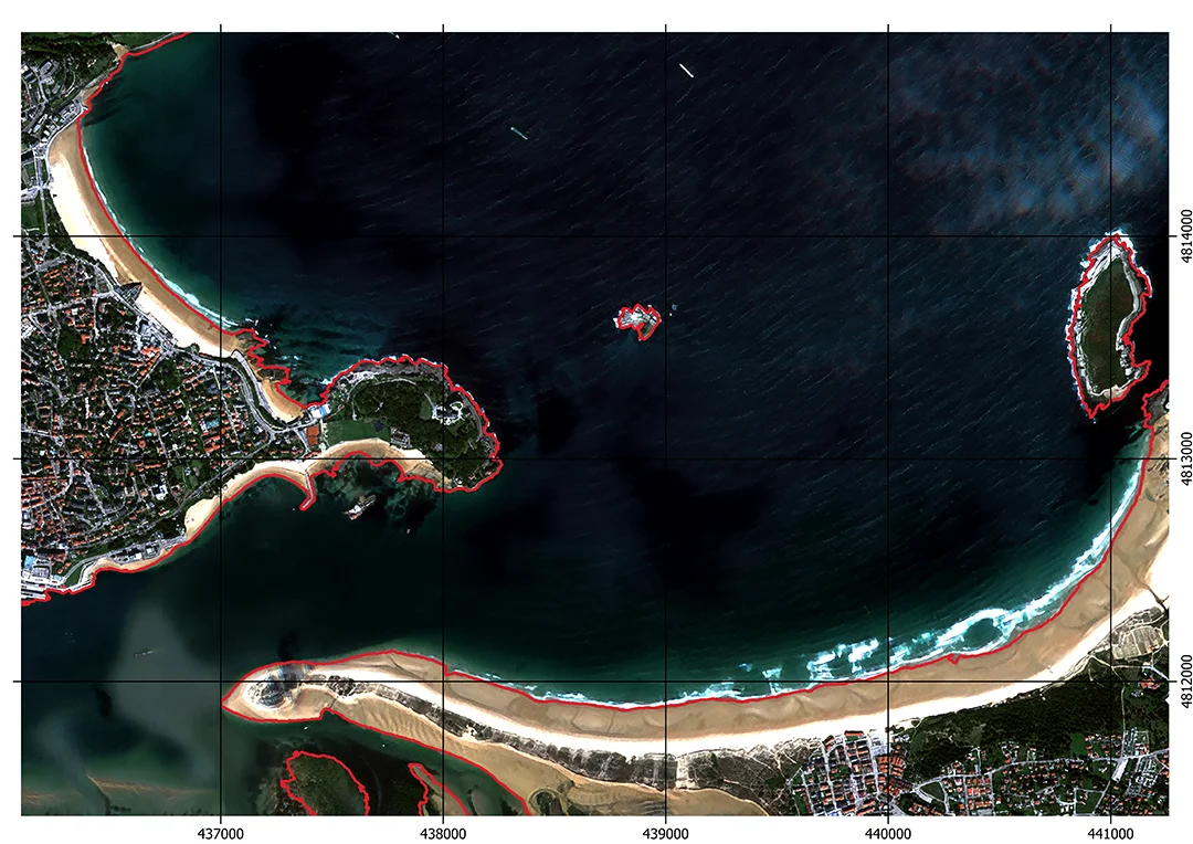
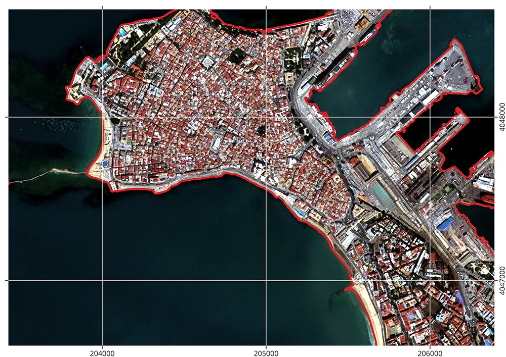
The selected pilot zones are located within the Spanish Maritime-Terrestrial Public Domain (DPMT), where precise shoreline monitoring and vulnerability assessment are critical for coastal planning, protection, and management.
By fostering collaboration with public institutions and scientific communities, CoastGuard aims to bring added value to decision-making processes and promote the uptake of Copernicus Marine data at the national level
CoastGuard is developed following high standards of data processing, documentation, and visualization, facilitating its alignment and potential integration with broader European marine services and platforms. The service is built with a modular and scalable architecture, allowing potential future deployment across different technical infrastructures.
The data and outputs generated by CoastGuard are designed to support the implementation of key European environmental directives, including the Marine Strategy Framework Directive, Water Framework Directive, and the EU Floods Directive, while also contributing to broader initiatives under the EU Green Deal. At the national level, it aligns with Spanish coastal management regulations, such as the Real Decreto 903/2010, reinforcing the sustainable use and protection of the maritime-terrestrial public domain.”
Beyond the European framework, CoastGuard is consistent with global strategies such as the UN Sendai Framework for Disaster Risk Reduction (UNDRR), the Sustainable Development Goals (SDGs)—notably SDG 13 (Climate Action) and SDG 11 (Sustainable Cities and Communities)—and supports the climate adaptation goals set forth in the UNFCCC Conferences of the Parties (COP).
Test Zones
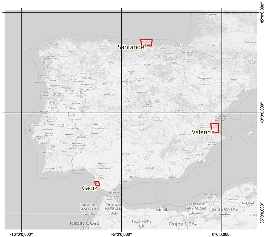


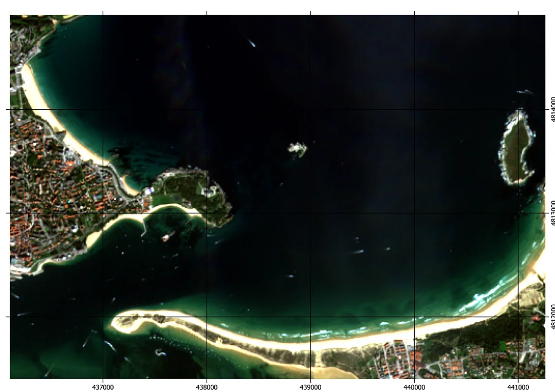
Santander
2023/09/18
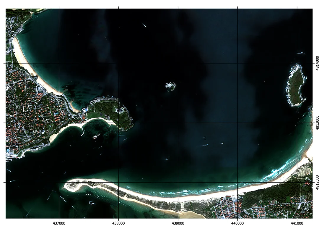
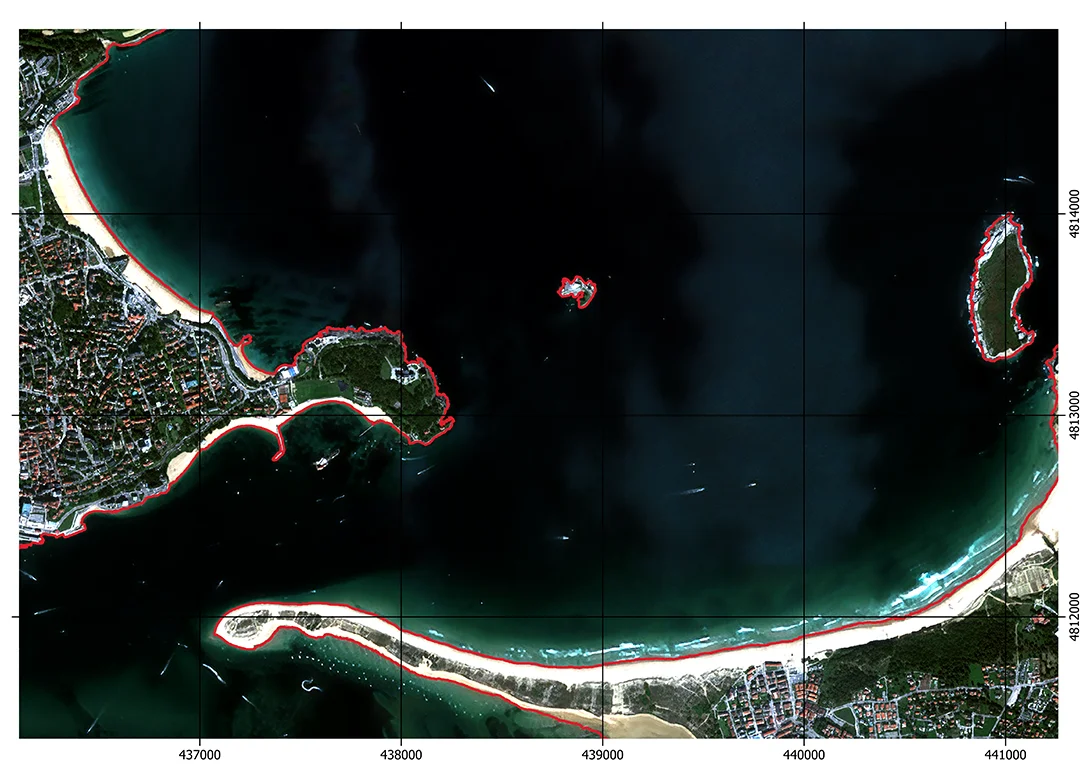
2023/10/08
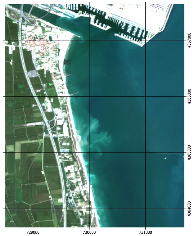
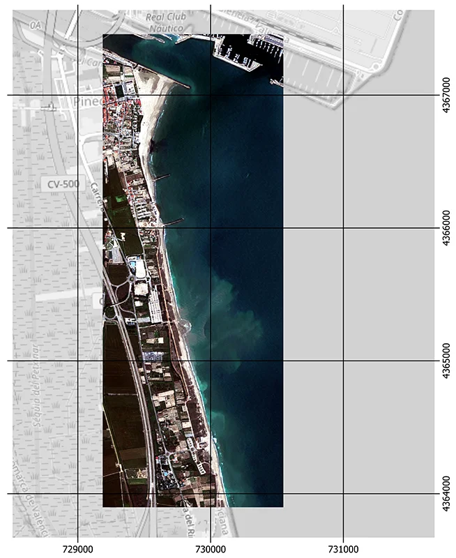
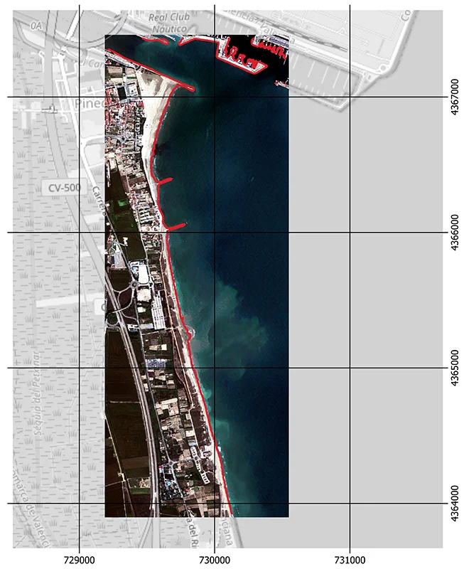
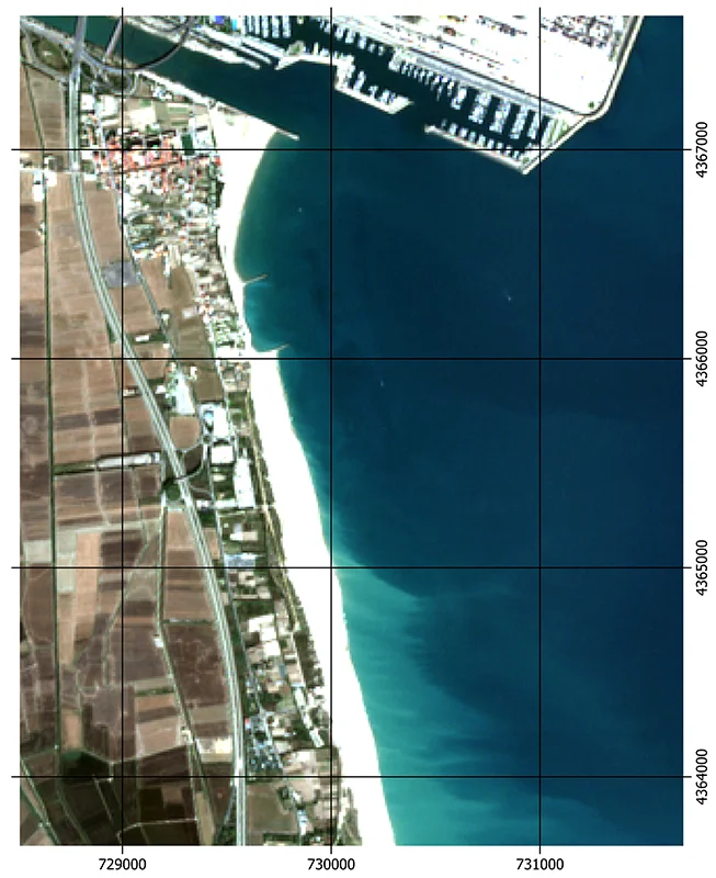
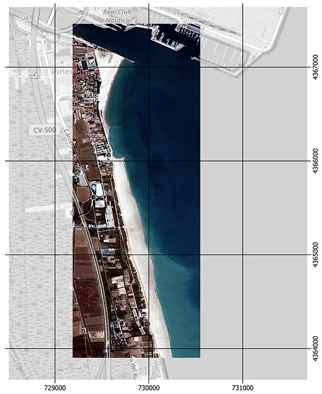
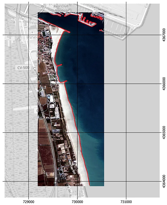
Valencia
2023/09/07
2023/11/06
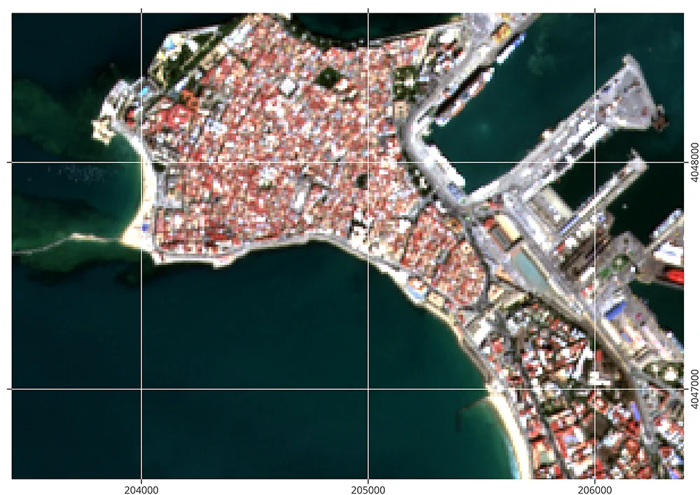
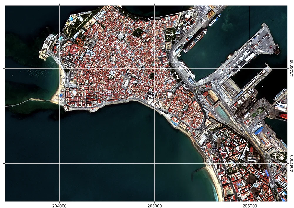
Cádiz
2023/09/13
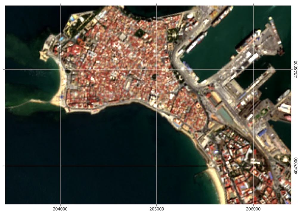
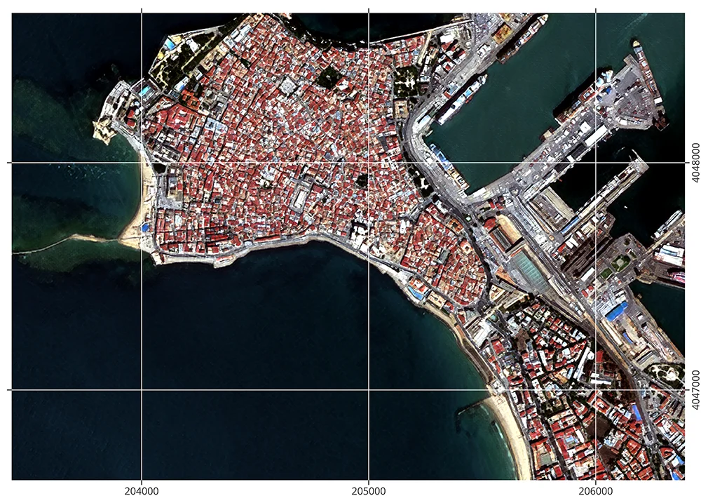
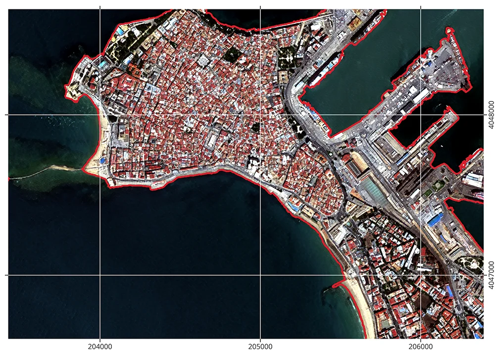
2023/09/28
Consortium
The CoastGuard consortium brings together two complementary institutions with proven experience in the development of geospatial tools, satellite data processing, and coastal monitoring and engineering. This collaboration ensures both technical robustness and the applied relevance of the service.
The team will be supported by a User and Expert Panel composed of stakeholders from national and regional public administrations involved in the implementation of coastal policies. These include representatives engaged in coastal risk management, environmental planning, and EU directive alignment, ensuring the service evolves in step with operational needs and regulatory frameworks

Subcontracted partner

User and expert panel

Partner

National Collaboration Programme
Request our services
DISCLAIMER:
This product is currently under development and testing. Submitted requests may not be processed or completed successfully. We apologize for any inconvenience this may cause.
This service is strictly limited to locations within mainland Spain (Iberian Peninsula). Requests outside this geographic area will not be considered.
Contact us
yoelteubel@grupotecopy.es